Travel to Mali
Home of the wealthy empire of Mansa Musa, the scholars of Timbuktu and some of the world's most remarkable mud architecture, Mali is a country of great history along the Niger. Before booking, check your government's official travel advice.
Mali in numbers
Capital
Bamako
Population
About 25M
Area
~1.24M km²
Currency
CFA franc
Language
Bambara
UNESCO sites
Timbuktu, Djenné
Continent
Africa
Time zone
UTC
Airports covered
1
Why Mali
A land of empires, scholars and mud architecture
Three trans-Saharan empires
Ghana, Mali and Songhai in turn controlled trans-Saharan trade. Around 1300 the Mali Empire was the wealthiest country in Africa, with Mansa Musa believed to be one of the wealthiest individuals in history.
Timbuktu's three great mosques
Djinguereber, built in 1327 under Mansa Musa, Sankoré from the 14th to 15th century and Sidi Yahya, founded in 1400. The Sankoré madrasah and its manuscripts made the city a centre of learning.
Djenné and its Great Mosque
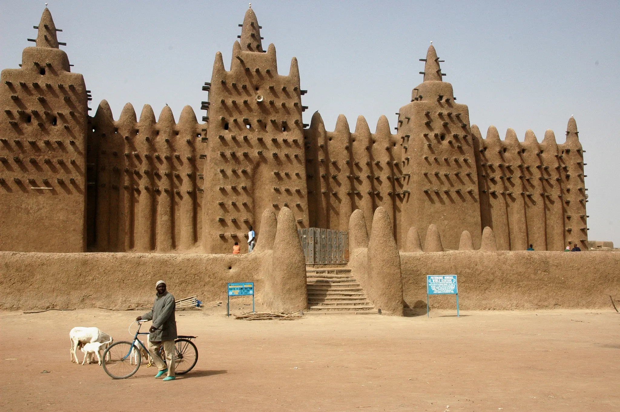
The Great Mosque, built in 1907 on the site of an earlier one, is the best-known adobe building in the world. Nearby Djenné-Djeno is one of the oldest known towns in sub-Saharan Africa.
The Dogon and their cliffs
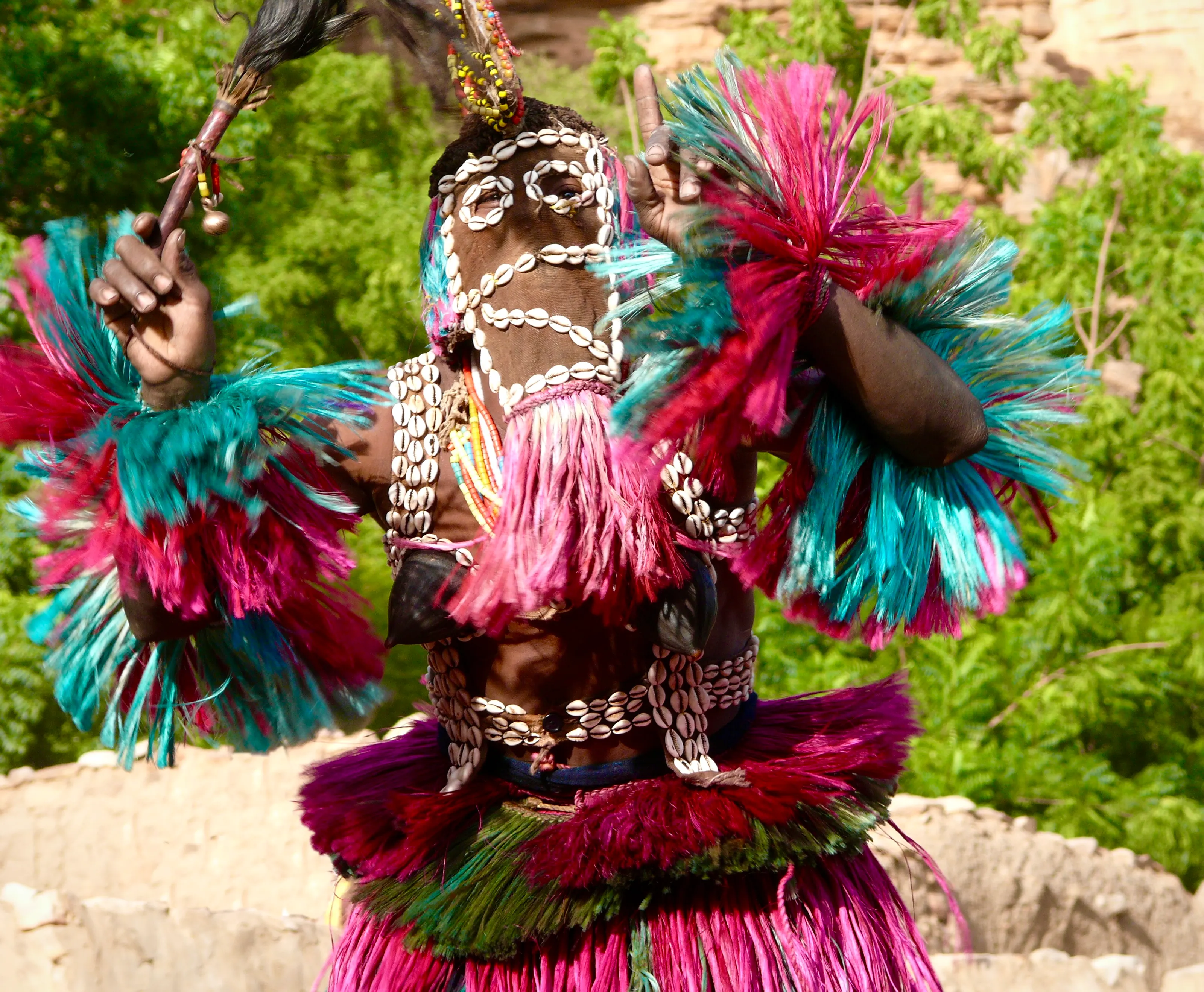
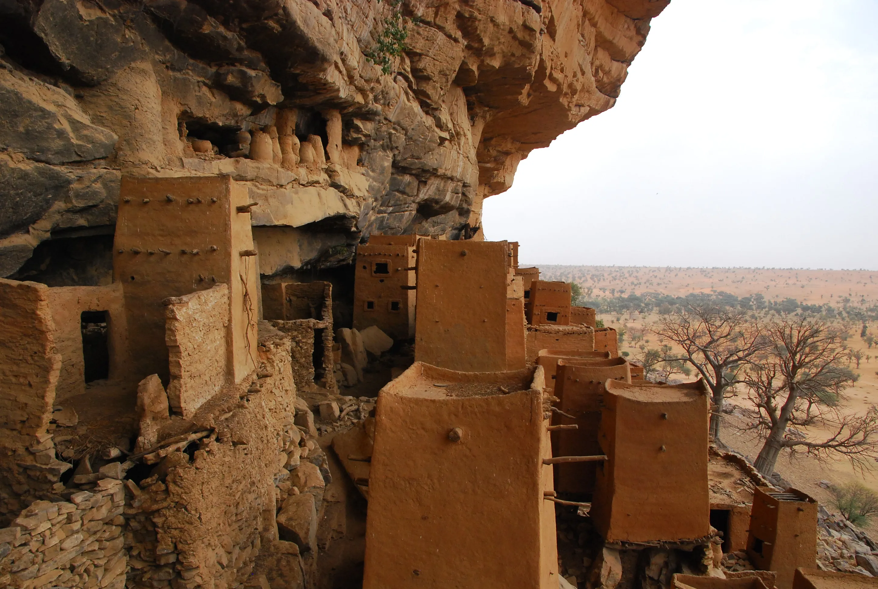
Along the Bandiagara escarpment the Dogon built villages in defensible spots close to water. They are best known for mask dances, wooden sculpture and their architecture.
Where history lives
Bamako, Timbuktu, Djenné and Dogon country
Access to different regions of Mali changes quickly. Treat the places below as background, and plan any route only after consulting your government's current advice.
Bamako
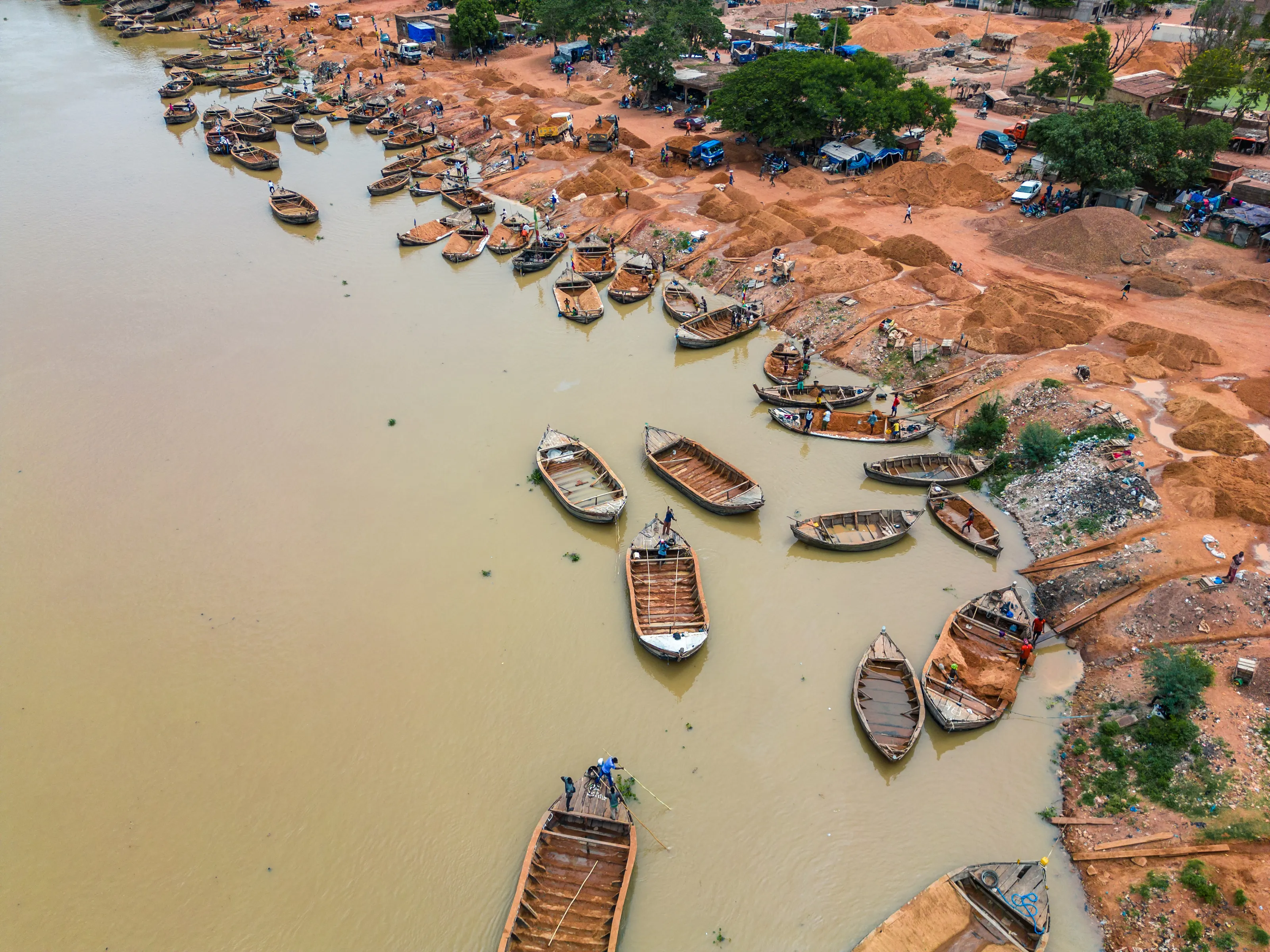
The capital sits on the Niger near rapids that divide the upper and middle valleys, and it is relatively flat apart from an escarpment to the north, the remains of an extinct volcano. The National Museum presents archaeology, musical instruments and ritual objects, and the 20-storey BCEAO Tower is the tallest building in the country.
Timbuktu
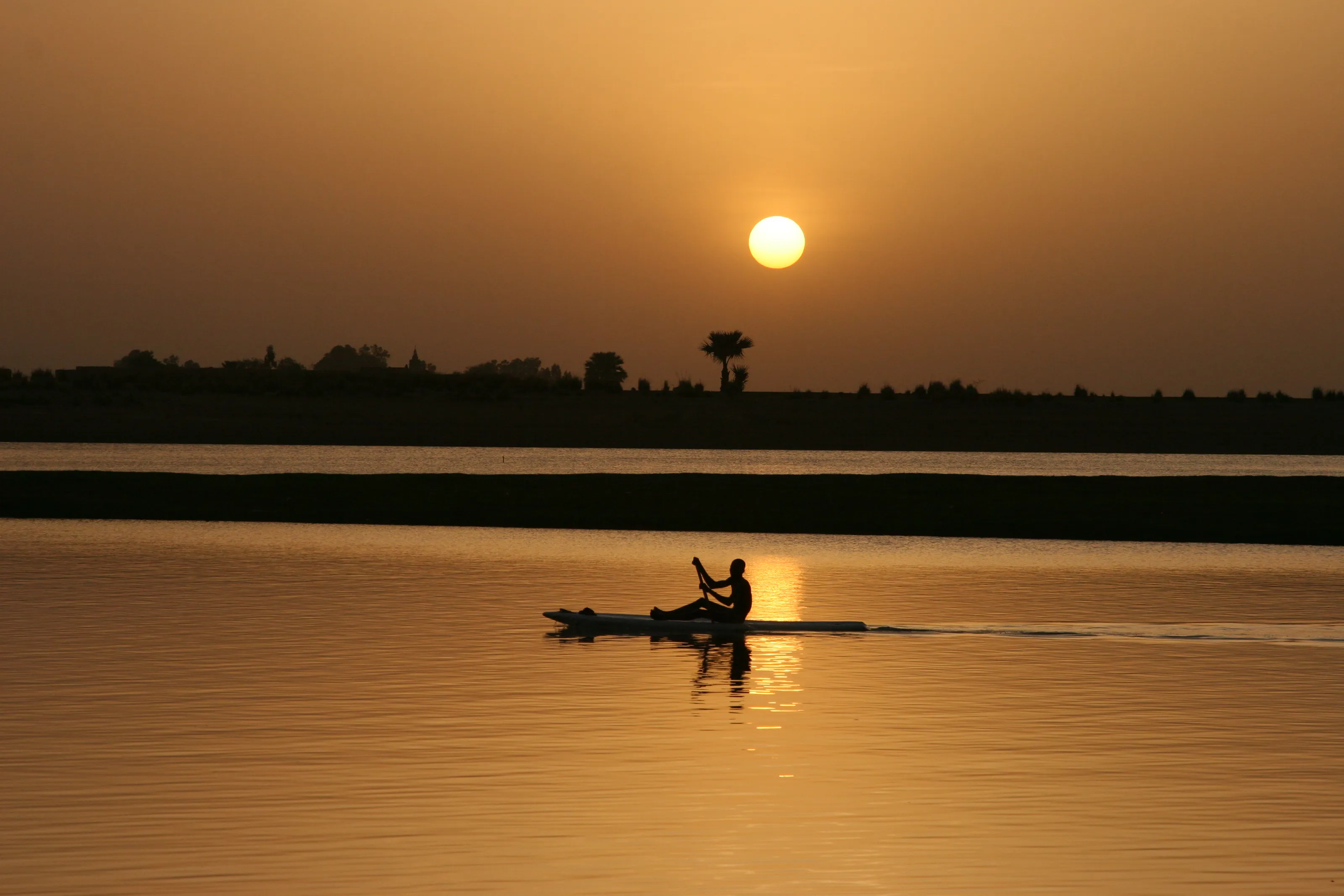
About 20 km north of the Niger, the city has around 84,000 people. A Moroccan army defeated the Songhai in 1591 and made it their capital, and its golden age as a centre of learning rested on an extensive book trade.
Djenné
It lies 398 km northeast of Bamako and 76 km southwest of Mopti on a floodplain between the Niger and Bani rivers. Djenné and Djenné-Djeno were designated a UNESCO site in 1988.
Dogon country
Each village has a Hogon, its spiritual and political leader, who wears a red fez. Dogon sculptures are not made to be seen publicly and are kept in family homes or shrines.
Before you go
One of the hottest countries in the world
| Zone | Climate | Notes |
|---|---|---|
| South (Bamako) | Sudanian savanna, with a rainy season from late April to early October | Niger floods form the Inland Niger Delta |
| Centre | Hot semi-arid, with a long intense dry season and a brief irregular rainy season | Very high temperatures year-round |
| North | Hot desert climate with long, extremely hot summers and scarce rain | Rainfall decreases northwards |
Mali lies in the torrid zone and the thermal equator crosses it. Security conditions vary by region and can change quickly, so check your government's travel advice before booking and again before departure. Visa rules vary by nationality.
Mali borders Senegal, Ivory Coast and Algeria, all covered by SniperAir. Benin, Togo and Gabon are also on our African list.
Getting around
Roads, the Dakar-Bamako railway and the river
Mali has about 89,000 km of roads, many in poor condition. The Dakar-Bamako railway has 641 km of track on the Malian side, and passenger service between Kayes and Bamako restarted in June 2023 after five years of renovation. There are about 29 airports, 8 of them with paved runways.
Culture and food
Griots, boubous and rice with leaf sauce
Malian music comes from the griots, known as keepers of memories, and runs from Toumani Diabaté's kora and Ali Farka Touré's blues to Tinariwen, Salif Keita and Amadou and Mariam. Most Malians wear flowing, colourful robes called boubous, and festivals, dances and ceremonies are common.
Rice and millet are the staples, usually served with sauces made from edible leaves such as spinach or baobab, or tomato and peanut, with grilled chicken, mutton, beef or goat. Fufu, jollof rice and maafe are popular dishes.
Cheap flights to Mali
The Bamako airport SniperAir tracks
Bamako Modibo Keïta
The international airport, formerly Bamako-Sénou, roughly 15 km south of the city centre. It opened in 1974 and was upgraded between 2007 and 2012.
FAQ
Frequently asked questions about Mali
What's the best airport for arriving in Mali?
Bamako Modibo Keïta (BKO), roughly 15 km south of the centre, is the main international airport.
What's the best time to visit Mali?
The south has a rainy season from late April to early October, when river flooding is common, so the drier months are generally easier. The north is extremely hot in summer.
What is Djenné famous for?
Its adobe architecture, above all the Great Mosque built in 1907, and the nearby site of Djenné-Djeno, both part of a UNESCO designation from 1988.
Is Mali an expensive destination?
We have no reliable budget figure to offer: costs depend heavily on the regions you can visit. A SniperAir price alert helps you catch the flight at the right moment.
Do I need a visa, and is it safe to travel?
Entry rules depend on your nationality. Conditions vary by region and change quickly: check your government's official travel advice before you book.
How many days should I plan in Mali?
There is no standard length: it depends on the regions that official travel advice currently allows you to visit.
How do I get alerted when a flight to Mali drops below my budget?
Create a SniperAir alert profile with your departure airport and Bamako as the destination: we track prices for you and notify you the moment a deal matching your criteria appears. See how it works.
Ready to track prices to Mali?
Create an alert and let SniperAir do the rest.
Create my alert