
Travel to Bolivia
The world's largest salt flat, a capital set above 3,600 m and served by cable car, Lake Titicaca and living Andean cultures: Bolivia is a country of altitude, silence and contrast. This guide covers what to know before you travel to Bolivia and how to find cheap flights to La Paz.
Bolivia in numbers
Capital
Sucre
Population
11 to 12 M
Area
1,098,581 km²
Currency
Boliviano
Language
Spanish
UNESCO sites
7
Continent
South America
Time zone
UTC-4
Airports covered
2
Why visit Bolivia
Salt, summits and Andean cultures
Salar de Uyuni, the world's largest salt flat
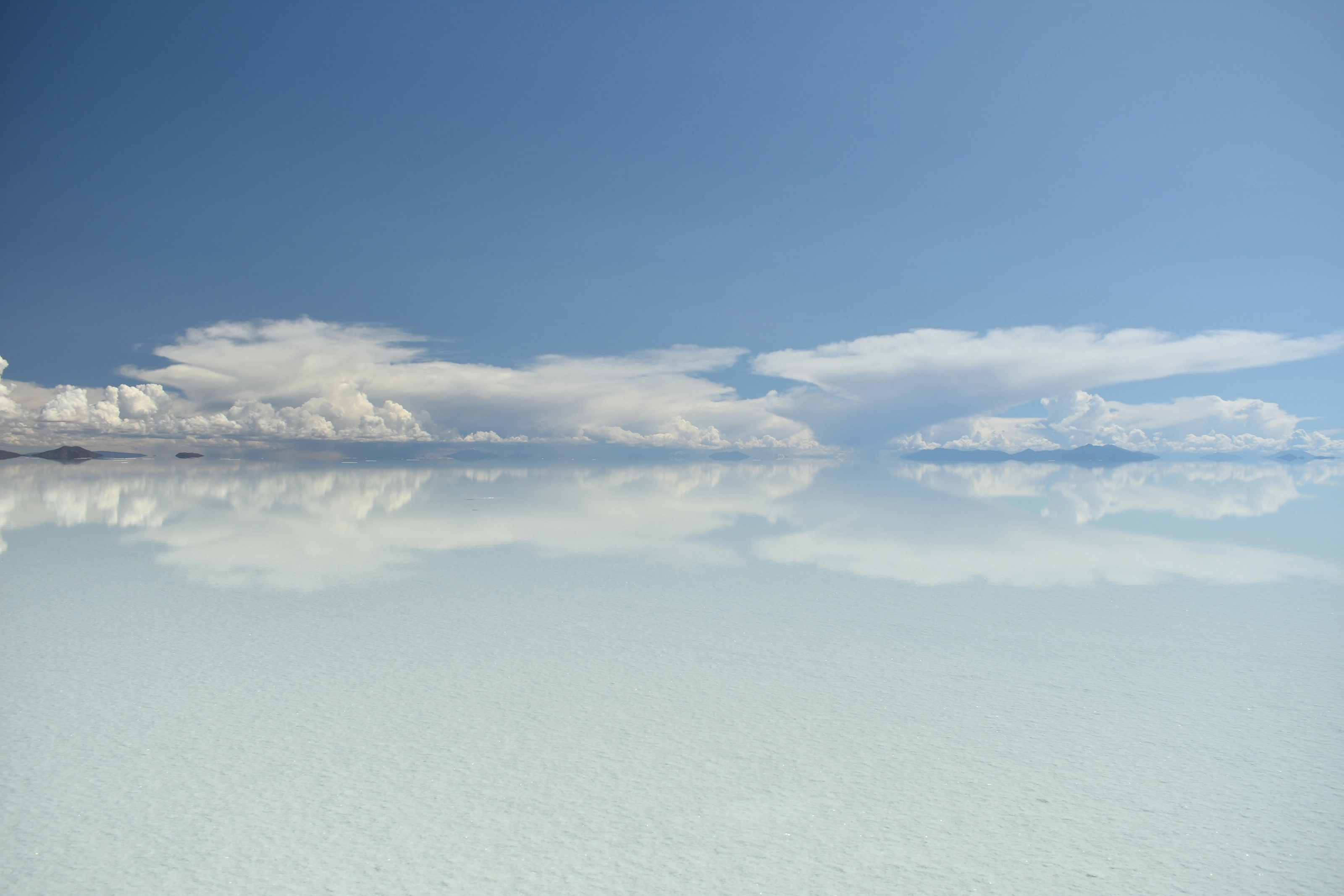
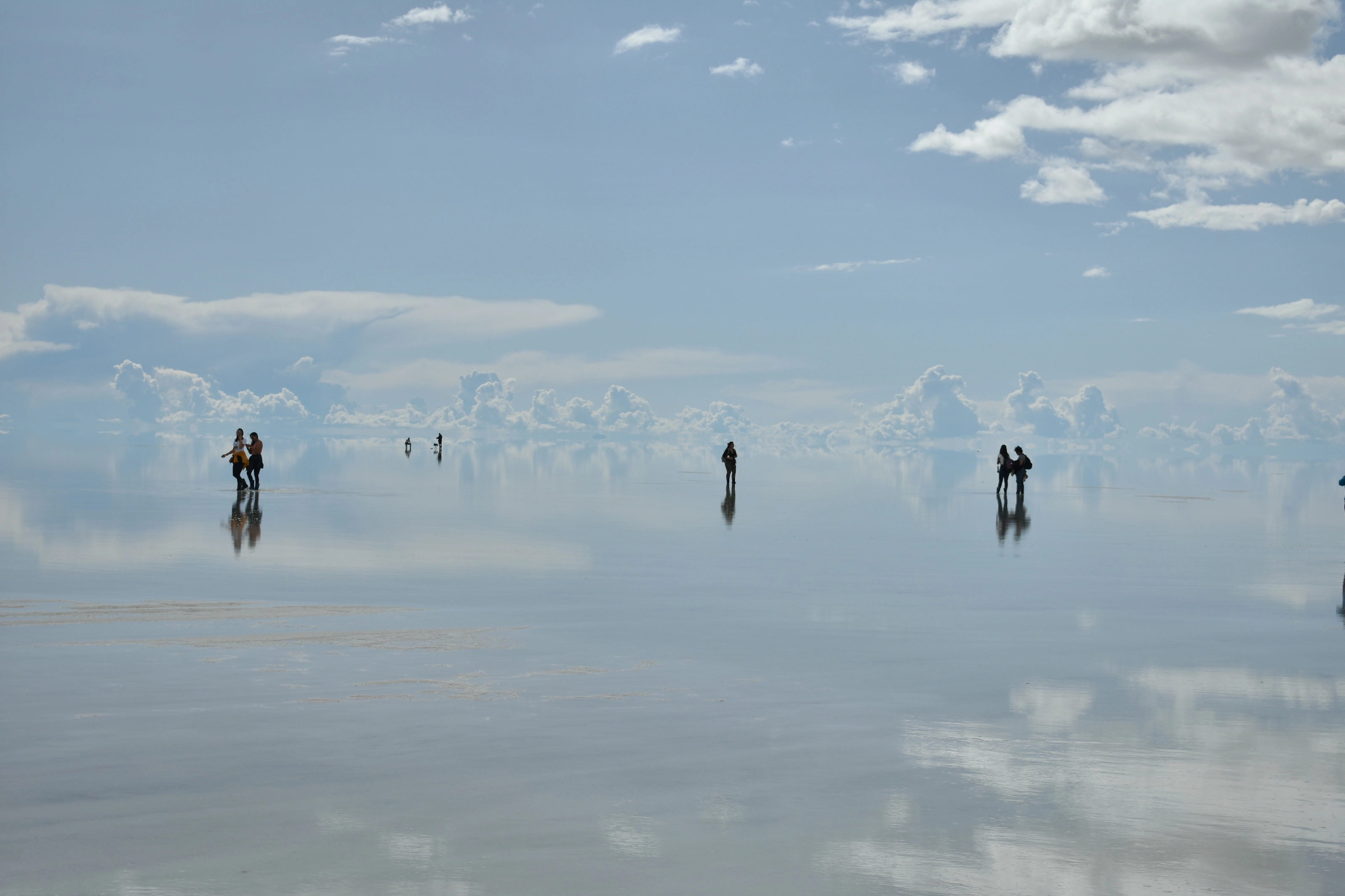
About 10,582 km² of salt at roughly 3,650 m. After rain, usually between December and March, a thin film of still water turns it into a vast mirror; the rest of the year brings flamingos, the giant cacti of Incahuasi island and hotels built of salt.
La Paz and its cable cars
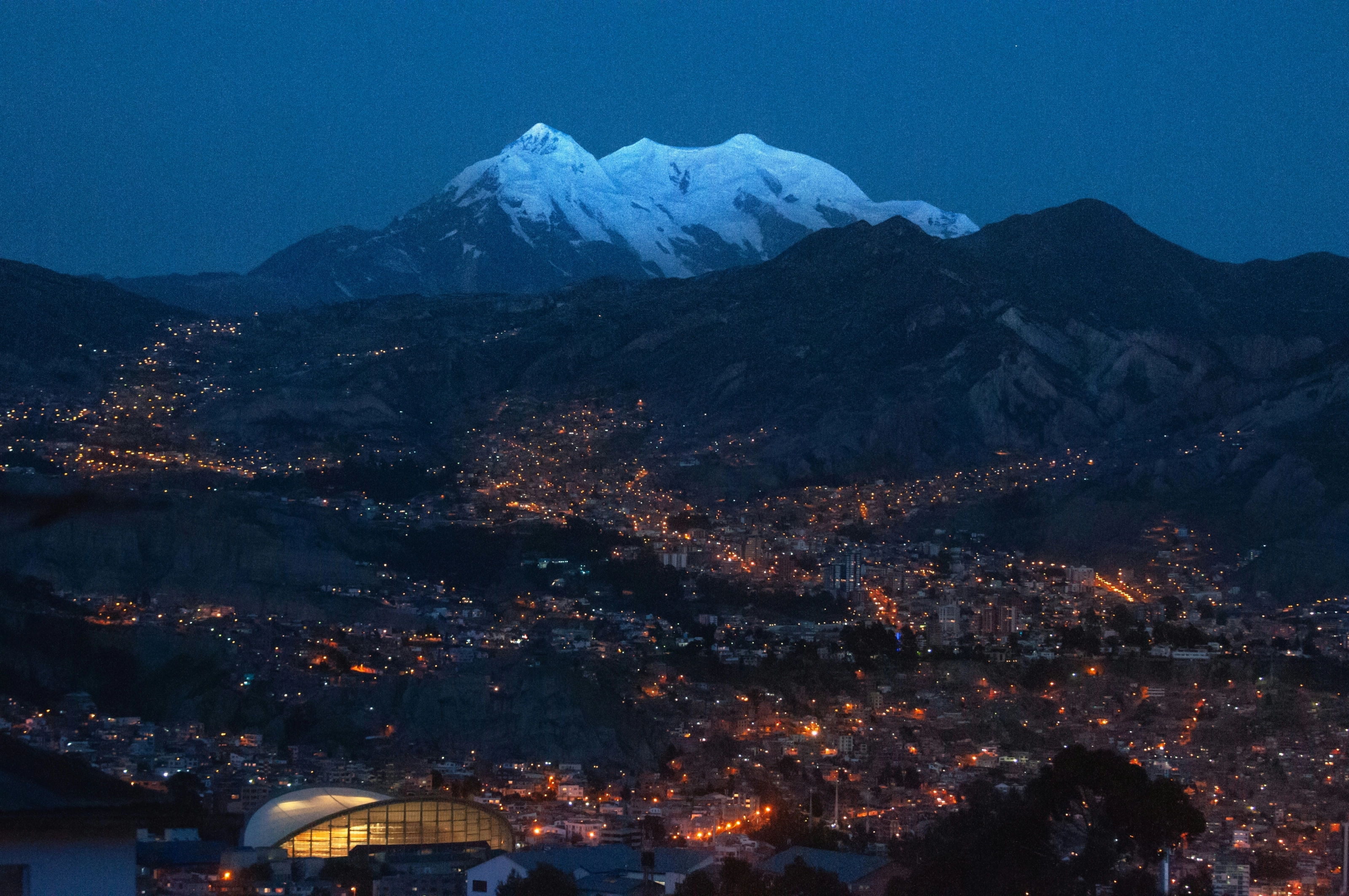
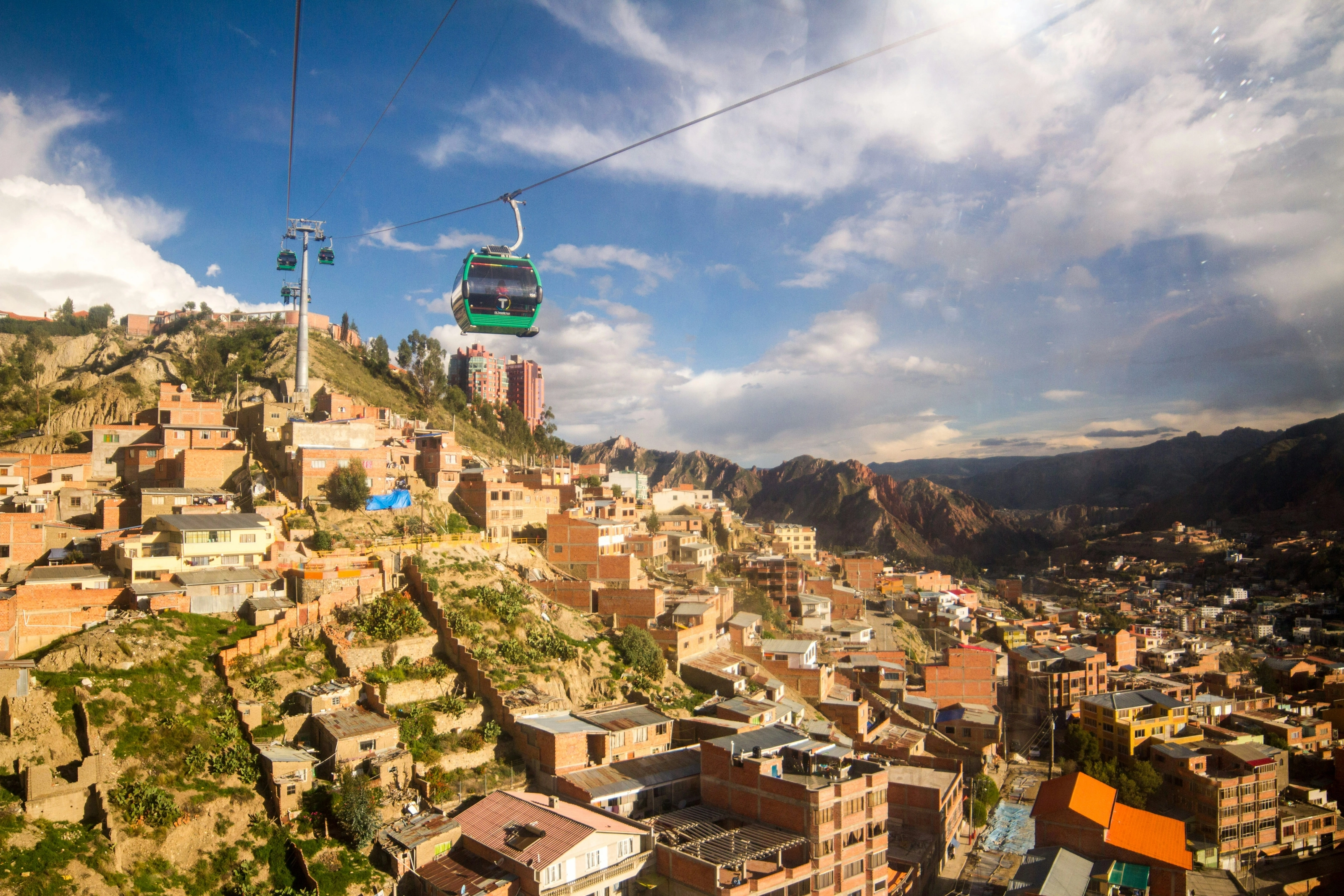
The seat of government sits at about 3,650 m beneath snow-capped Illimani. Its Mi Teleférico network has ten lines linking La Paz and El Alto and is billed as the longest urban cable car system in the world.
Lake Titicaca and Isla del Sol
At 3,812 m, the highest commercially navigable lake on Earth is shared with Peru. Isla del Sol has no motor vehicles or paved roads and more than 80 ruins, most of them Inca.
A country of many peoples
Spanish, Quechua, Aymara, Guarani and 36 other indigenous languages have official status. The Oruro Carnival is on UNESCO's intangible heritage list, and seven places are on the World Heritage List.
Signature places
Uyuni, La Paz, Titicaca, Sucre and Potosí
Most first trips link the salt flat in the southwest, the Altiplano around La Paz and Lake Titicaca, and the colonial cities of Sucre and Potosí, with the Amazon as an add-on.
Salar de Uyuni, a mirror in the clouds
The town of Uyuni, at roughly 3,670 m, is the gateway. In the dry season you can cross the flat to Incahuasi island and its candelabra cacti, some said to be 1,200 years old; in the rainy months the mirror effect is the big draw but tracks are harder going. Winter nights are bitterly cold, with Uyuni's July night-time lows averaging well below freezing.
La Paz and El Alto
Founded in 1548, La Paz fills a bowl-shaped canyon with Illimani rising behind it. Walk Plaza Murillo and the Witches' Market, then ride the cable cars up to El Alto for city views. Take it slowly: the centre sits at about 3,650 m and the airport above 4,000 m.
Lake Titicaca and Tiwanaku
Copacabana is the base for boats to Isla del Sol, long described as the heart of Inca mythology. Nearby Tiwanaku, a UNESCO site, was the centre of a pre-Inca culture that dominated the southern Andes between the 5th and 11th centuries.
Sucre and Potosí
Sucre is Bolivia's whitewashed constitutional capital, known for its colonial architecture. Potosí, founded in 1545 below the silver mountain of Cerro Rico, was once among the largest cities in the New World; at about 4,070 m it is also one of the highest.
Oruro Carnival and the Amazon
Held around Mardi Gras, the Oruro Carnival gathers dozens of folk dance groups in a procession to the Socavón sanctuary. In the north, Madidi National Park and the community-run Chalalán eco-lodge show another Bolivia entirely.
Getting around
Fly the long distances, treat roads with care
Bolivia is big and most of its road network is unpaved, so flying is usually the easiest way to link La Paz, Sucre, Uyuni and Santa Cruz, and official advice also suggests choosing flights over long road journeys. State carrier Boliviana de Aviación serves most major towns.
Roads can be closed by snow, rain or local blockades, especially towards the Yungas and around Uyuni, so check conditions with the national roads authority before setting off and avoid night driving in remote areas. In La Paz, the cable cars are the quickest way across to El Alto.
Before you go
Four regions, four climates
| Region | Climate | Best time to visit |
|---|---|---|
| La Paz and the Altiplano | Cold, dry and sunny at altitude: up to about 19 C by day in the warm season, near or below freezing at night; rain falls roughly December to March | May to October for clear skies |
| Uyuni and the southwest | Very dry (about 190 mm a year, 85 percent of it December to March), freezing July nights | May to October; December to March for the mirror |
| Valleys (Sucre, Cochabamba) | Milder: Cochabamba averages 18-19 C, and Sucre's rains run October to March | April to October |
| Lowlands and Amazon | Tropical, hot and humid; cold southern winds can bring cooler spells in winter | May to October, the drier months |
Altitude sickness can affect visitors in La Paz, Oruro, Potosí and Uyuni. Official advice is to rest, drink plenty of fluids, avoid alcohol and heavy meals, and speak to a doctor before travelling, particularly with heart or breathing conditions.
Many visitors, including UK passport holders, can stay up to 90 days without a visa, with a passport valid for at least six months; rules depend on nationality, so check yours. Before booking, consult your government's official travel advice for current conditions, road blockades and health recommendations.
Combining countries? See also Peru, Chile, Argentina and Brazil.
Food
Salteñas, quinoa and singani
Bolivian cooking draws on corn, potatoes, quinoa and beans, blended with rice, wheat, beef and pork from the Spanish. Try salteñas, juicy baked pastries; pique macho, a heap of beef, sausage, peppers and fries; and silpancho, a breaded beef dish served over rice and potatoes.
Highland dishes lean on spice, while the lowlands favour fruit, fish and yuca. To drink, look for singani, a grape spirit, and the wines of the Tarija valley.
Flying to Bolivia
The Bolivian airports SniperAir covers
El Alto International (La Paz)
About 13 km west of La Paz, at 4,061 m: the highest international airport in the world. Thin air limits widebody loads, so some long-haul traffic uses Santa Cruz instead.
Uyuni (salt flat)
Just northwest of Uyuni town and close to the salt flat, with Boliviana de Aviación flights to La Paz and Cochabamba.
FAQ
Frequently asked questions about Bolivia
What is the best airport to fly into for Bolivia?
El Alto (LPB) in La Paz is the airport SniperAir tracks for the administrative capital; for the salt flat, Uyuni (UYU) saves a long overland journey. Some international flights also use Santa Cruz.
When is the best time to travel to Bolivia?
The dry season, May to October, brings the clearest skies around La Paz and the salt flat. December to March is the rainy season that creates Uyuni's mirror, though some roads are disrupted.
Should I worry about altitude in La Paz?
The airport is above 4,000 m and the city centre is about 3,650 m, so altitude sickness is possible. Official advice is to rest, drink fluids and get medical advice before you leave.
Is Bolivia expensive?
Prices are generally low for European and North American visitors, with plenty of choice in the larger cities; beyond the main routes, facilities are simpler.
Do I need a visa for Bolivia?
Many visitors do not need a visa for tourist stays of up to 90 days. Your passport should be valid for at least six months; check the rules for your nationality, including yellow fever vaccination.
How long should I spend in Bolivia?
Allow 10 to 14 days to combine La Paz, Lake Titicaca, Sucre or Potosí and the Uyuni salt flat; a week covers La Paz and Uyuni alone.
How do I get alerted when a flight to Bolivia drops below my budget?
Create a SniperAir alert profile with your departure airport and La Paz or Uyuni as your destination: we track prices for you and notify you as soon as an opportunity matching your criteria is found.
Ready to track prices to Bolivia?
Create an alert and let SniperAir do the rest.
Create my alert