
Travel to Puerto Rico: cheap flights to San Juan, El Yunque and the beaches
Spanish forts on a cliff above the ocean, cobbled streets lined with pastel houses, a rainforest an hour from the capital, bays that glow at night and surf beaches on the west coast: Puerto Rico packs a lot of Caribbean variety into one island where the dollar is the currency and Spanish the everyday language. Here is how to plan a trip, and then how to watch for cheap flights to Puerto Rico.
Puerto Rico at a glance
Capital
San Juan
Population
About 3.2 million
Area
A little over 9,100 km2
Currency
US dollar
Languages
Spanish and English
Heritage
Old San Juan
Continent
North America
Time zone
UTC-4
Airports covered
1
Why visit Puerto Rico
Forts, rainforest, glowing bays and surf
A UNESCO-listed Old San Juan
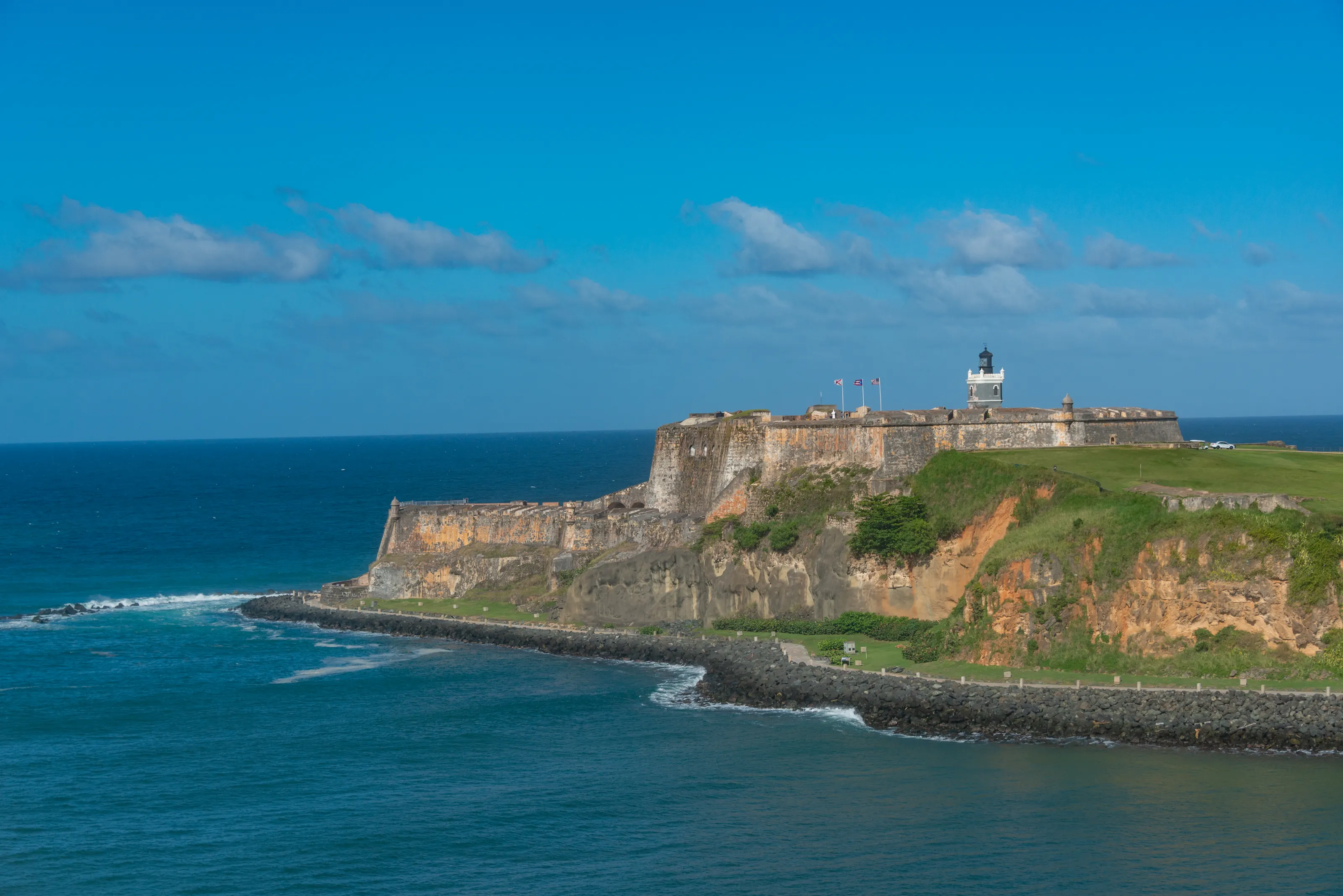
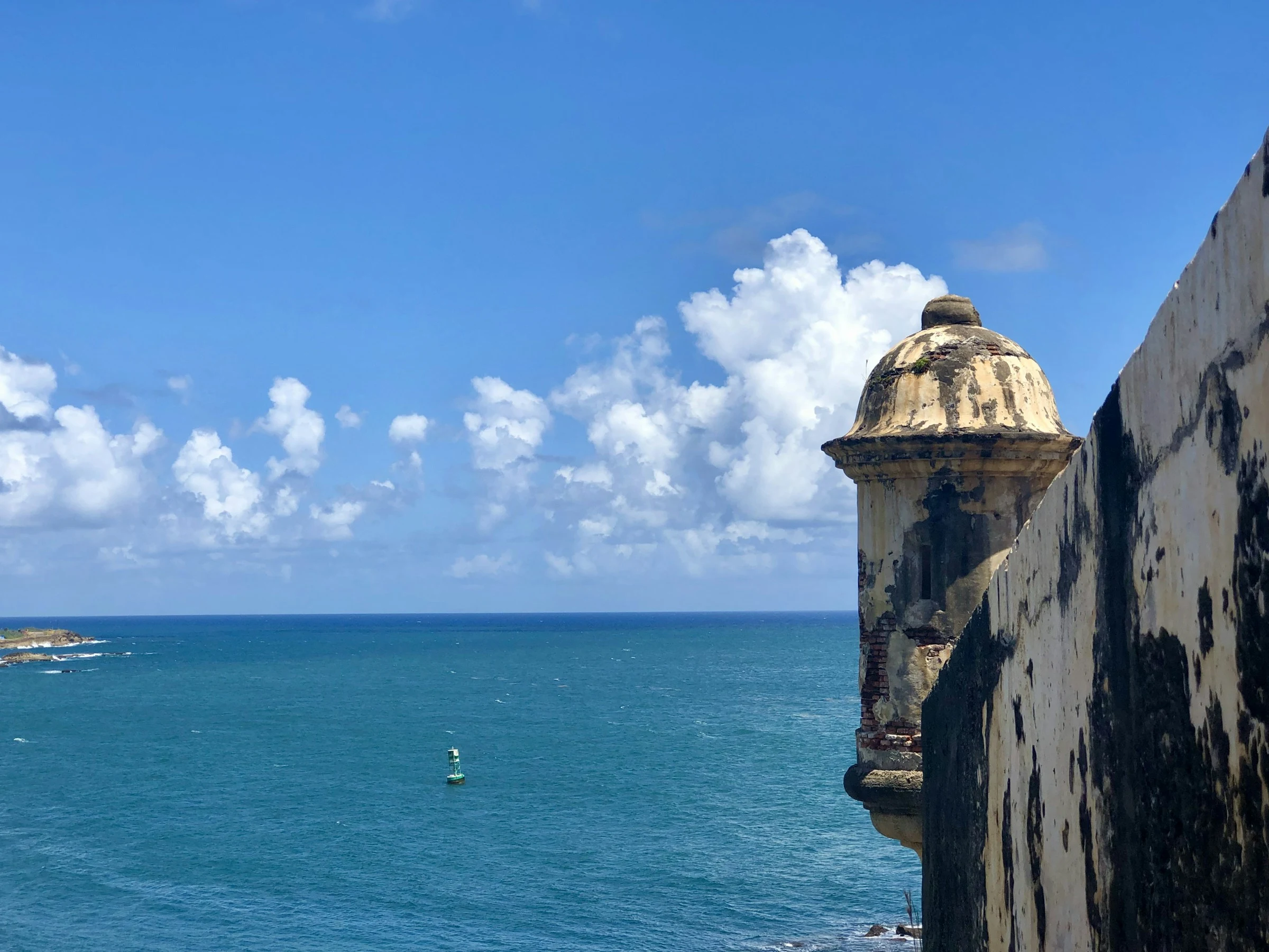
The forts of San Felipe del Morro and San Cristobal, the city walls and the cobbled lanes are among the best-preserved Spanish fortifications in the Americas. Wander past wooden balconies, plazas and brightly painted facades.
Bays that glow at night
Near Fajardo, on Vieques and at La Parguera, tiny organisms light up the water with every movement. A kayak or boat trip on a moonless night is one of the trip's most memorable moments.
El Yunque and the mountains
El Yunque is the only tropical rainforest in the US National Forest System, with waterfalls, trails and a chorus of coqui frogs. Inland, mountain roads climb toward coffee country.
Beaches, surf and small islands
From Rincon and Aguadilla, known for winter waves, to the quiet beaches of Culebra and Vieques, the coast covers every mood, from kitesurfing to clear-water snorkelling.
Where to go
Old San Juan, El Yunque, Rincon, Culebra and the south
Puerto Rico is easy to cover: within an hour of San Juan you can go from colonial streets to rainforest, and in about two and a half hours you can cross the island to the west coast. Here are the places that earn a spot on the itinerary, from the north-east round to the south-west.
Old San Juan: forts above the Atlantic
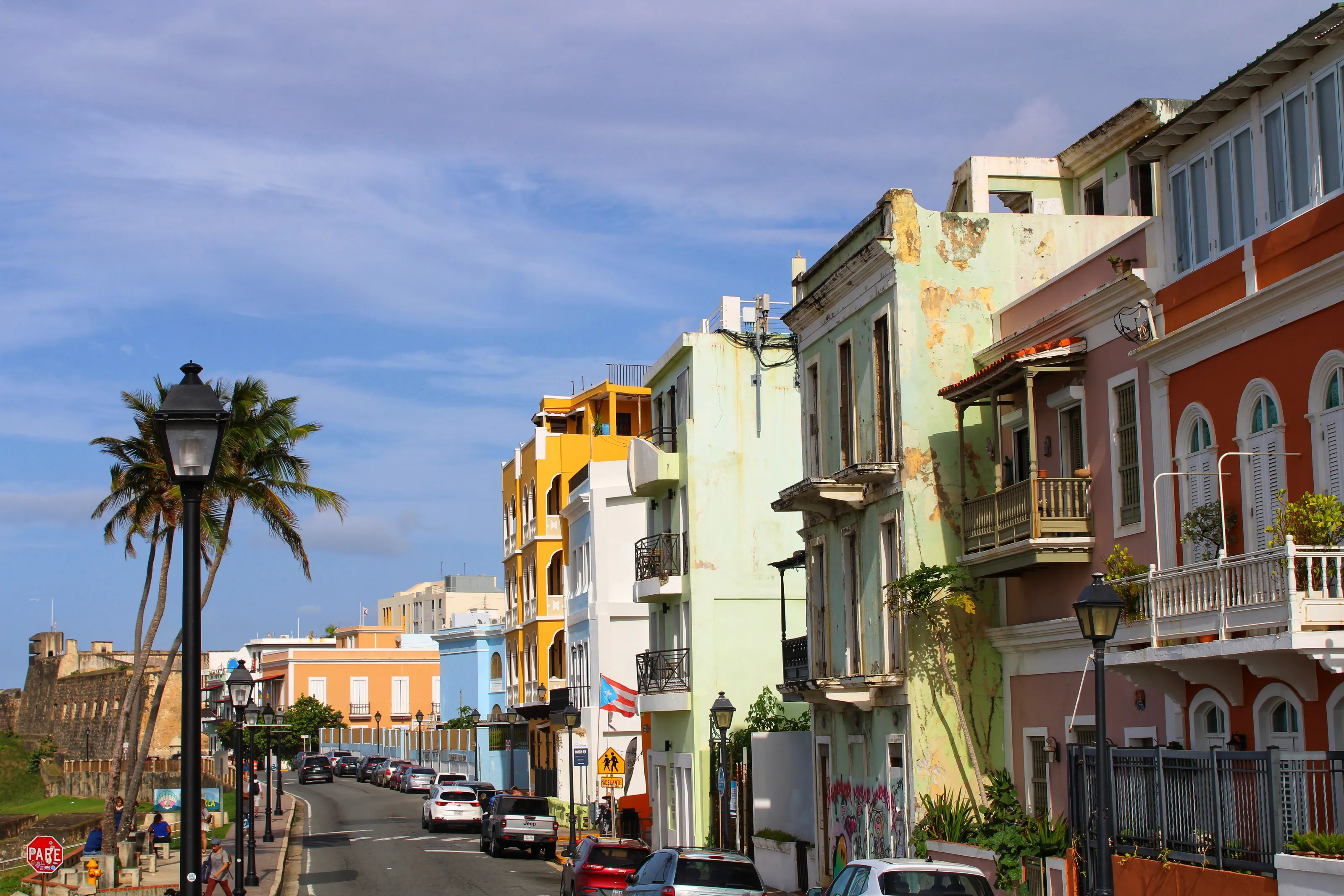
The historic quarter sits on a small peninsula: the forts of San Felipe del Morro and San Cristobal, ramparts, cobbled lanes, shaded plazas and wooden balconies painted blue, red or green. Sunsets are best watched from the walls, and restaurants serving Puerto Rican food are everywhere.
La Perla, Condado and Santurce: San Juan beyond the walls
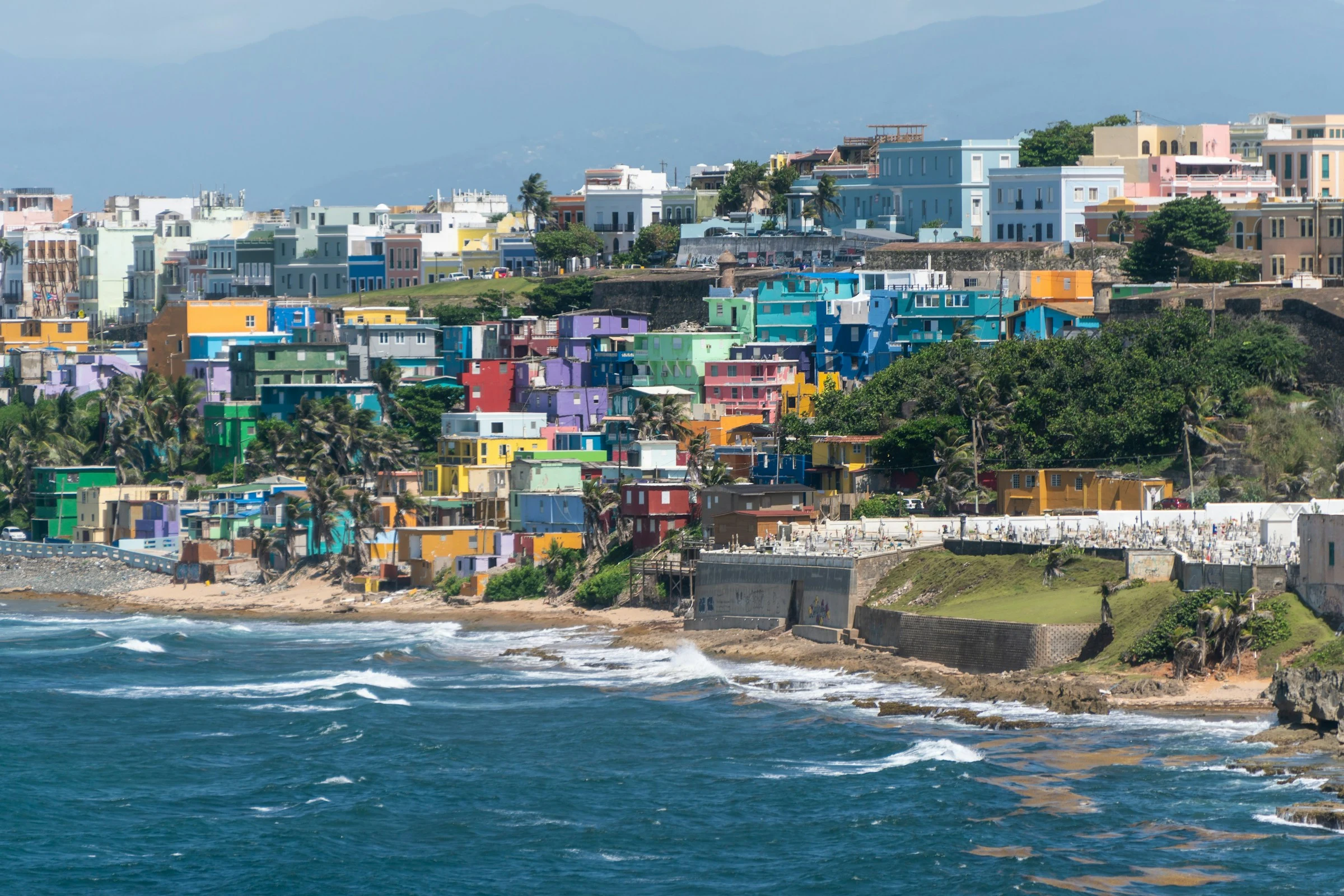
Just below the walls of Old San Juan, the La Perla neighbourhood stacks brightly painted houses along the ocean. Farther east, Condado and Isla Verde line up city beaches and hotels, while Santurce has built a name for its murals and restaurants.
El Yunque, Fajardo and the east coast
About an hour east of San Juan, El Yunque has waterfalls, pools and trails in dense vegetation, with rain almost every day. Further south, Fajardo is the departure point for boats and ferries to Vieques and Culebra, and a nearby bioluminescent bay can be visited at night.
Aguadilla, Rincon and the west: surf and sunsets
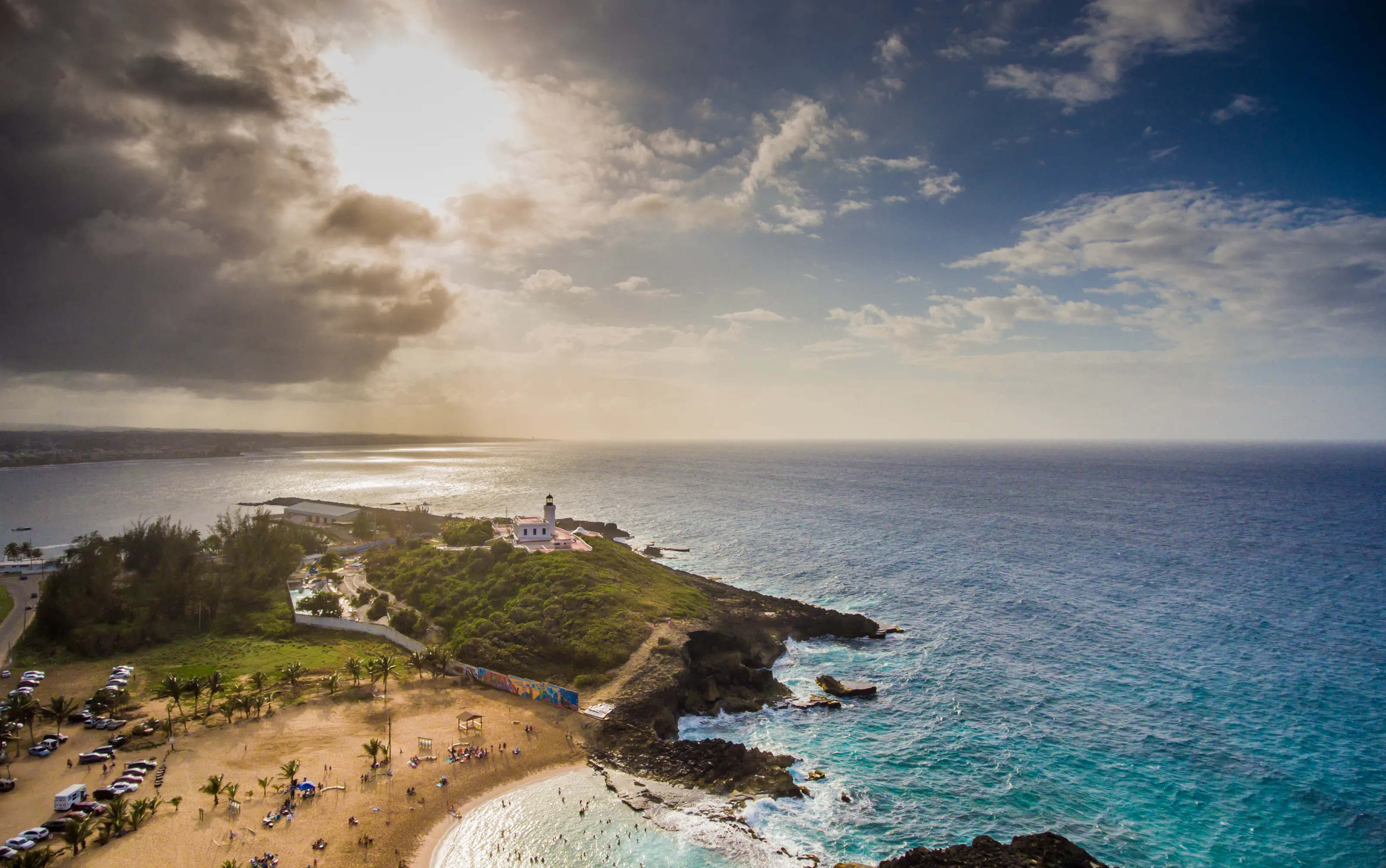
On the west coast, Aguadilla and Rincon are the island's surf spots, mostly in winter, with beaches open to the horizon and golden-hour evenings. The Rio Camuy caves and the town of Arecibo make a day trip into the north-west interior. BQN, the Aguadilla airport, is the gateway.
Culebra, Vieques and the south: Ponce, Guanica, La Parguera
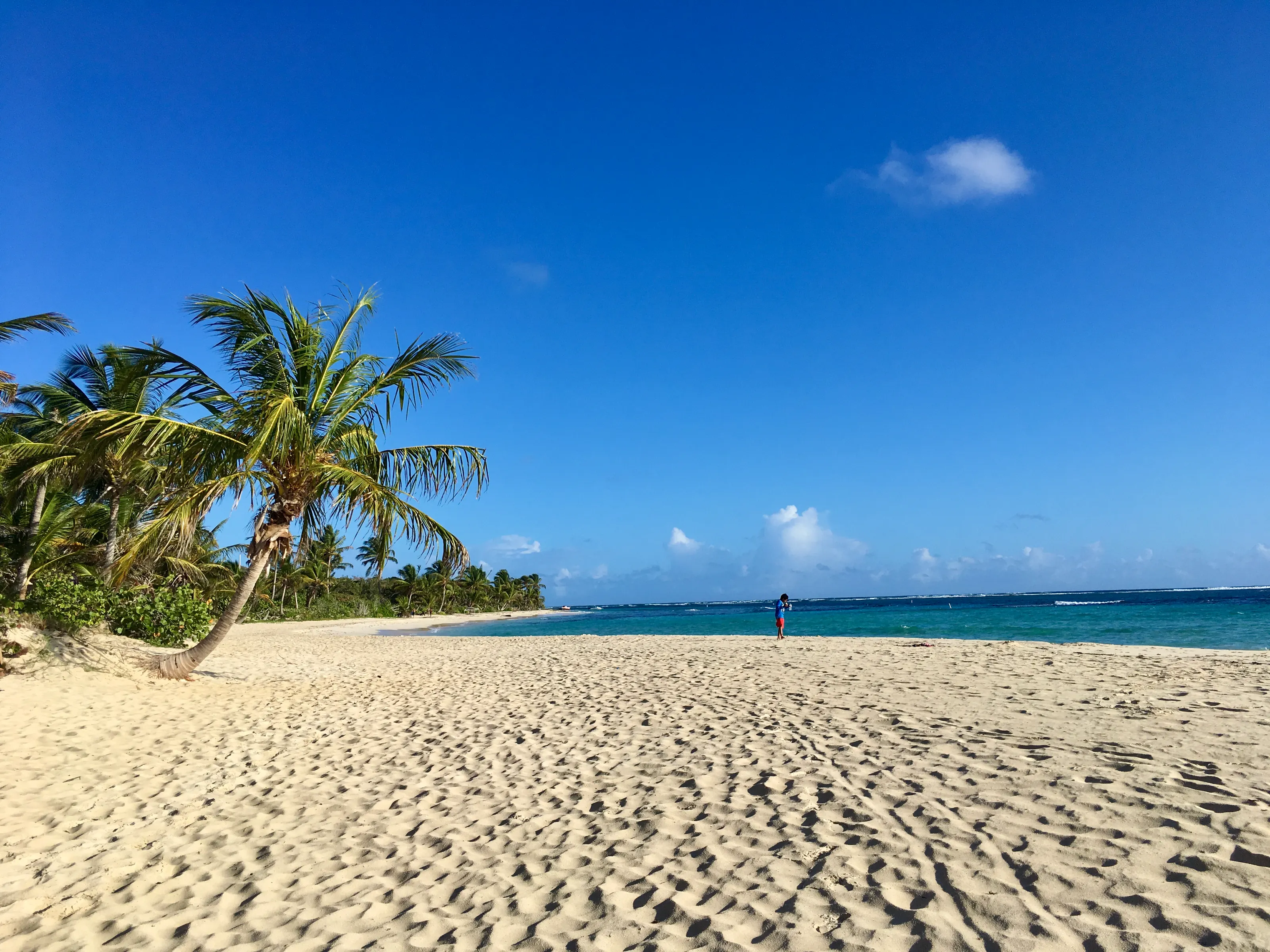
Culebra and Vieques, reached by ferry or small plane, are known for pale-sand beaches and snorkelling. On the south coast, Ponce has several museums, Guanica protects a dry forest that is a biosphere reserve, and La Parguera has its own glowing bay.
Before you go
December to April for the driest weather
| Area | Climate | Best time |
|---|---|---|
| San Juan and the north coast | Warm and breezy thanks to the trade winds, with more showers in summer. | December to April |
| El Yunque and the mountains | Cooler and very wet: bring a rain jacket. | December to April, rain possible all year |
| Rincon and the west coast | Surf in winter; calmer seas in summer. | November to April for waves, May to October for swimming |
| South (Ponce, Guanica) | Drier than the north, plenty of sun. | All year, except during tropical storms |
The Atlantic hurricane season runs from June to November: check forecasts before booking, stay flexible on dates and consider travel insurance. Puerto Rico is a US territory, so entry requirements generally follow US rules; check the official requirements for your nationality.
Getting around
Rental car, taxis, ferries and small planes
Outside the San Juan area, public transport is very limited, so a rental car is by far the most practical way to explore. Traffic drives on the right; distances are posted in kilometres but speed limits in miles per hour. Mountain roads are narrow and winding, with the occasional patch of fog.
Official tourist taxis cover trips around the city, and shared taxis called publicos suit tight budgets. For Vieques and Culebra, ferries leave from Fajardo and small planes from San Juan or Ceiba: book early in high season.
Culture and food
Taino roots, Spain, Africa and mofongo
The Taino called the island Borikén, and Puerto Rico kept the language, plazas and patron-saint festivals of its long Spanish history, blended with rhythms of African origin and American influence. A local nickname is la isla del encanto, the island of enchantment.
At the table, try mofongo (fried, mashed plantain), roast pork, pasteles, tostones and alcapurrias, with mountain coffee or a rum cocktail. Big family meals are the heart of every celebration.
Travel to Puerto Rico
The Puerto Rico airport covered by SniperAir
Rafael Hernández
In Aguadilla on the north-west coast, the gateway to Rincon and the west coast, about twenty-five to thirty minutes by road from Rincon. San Juan is roughly two hours away by road.
FAQ
Puerto Rico travel FAQ
Which airport should I use to travel to Puerto Rico?
SniperAir tracks BQN, Rafael Hernandez Airport in Aguadilla, handy for Rincon and the west coast. The island also has a larger international airport near San Juan, useful for Old San Juan and El Yunque.
When is the best time to travel to Puerto Rico?
December to April is drier with pleasant temperatures. The hurricane season runs from June to November, so keep your dates flexible. For surfing at Rincon, winter is the best season.
Is Puerto Rico expensive?
Prices are close to those on the US mainland, with a wide gap between a Condado hotel and a guesthouse or a stay in the mountains. Watching flights ahead of time helps keep the budget down.
Do I need a visa for Puerto Rico?
Puerto Rico is a US territory, so entry requirements generally follow US rules. They depend on your nationality, so always check the official conditions before booking.
How long should I spend in Puerto Rico?
A week lets you combine San Juan, El Yunque and a few beach days. Ten days gives time to add the west, the south or a side trip to Culebra.
Do I need a car in Puerto Rico?
To explore beyond San Juan it is the most practical option, as public transport is limited. In Old San Juan you get around on foot, and parking is difficult.
How do I get alerted when a flight to Puerto Rico drops below my budget?
Create a SniperAir alert with your departure airport and BQN, set your maximum price, and we notify you as soon as a fare falls below it. SniperAir tracks prices and sends alerts. See how it works.
Ready to watch prices to Puerto Rico?
Create an alert and let SniperAir do the rest.
Create my alert